Drone Services in Huber Heights, Ohio
FAA-certified aerial photography, 4K video and roof inspections across Huber Heights — from the classic brick-home streets to Carriage Trails and the retail along Rip Rap Road and Old Troy Pike.
A master-planned town reads best from the air.
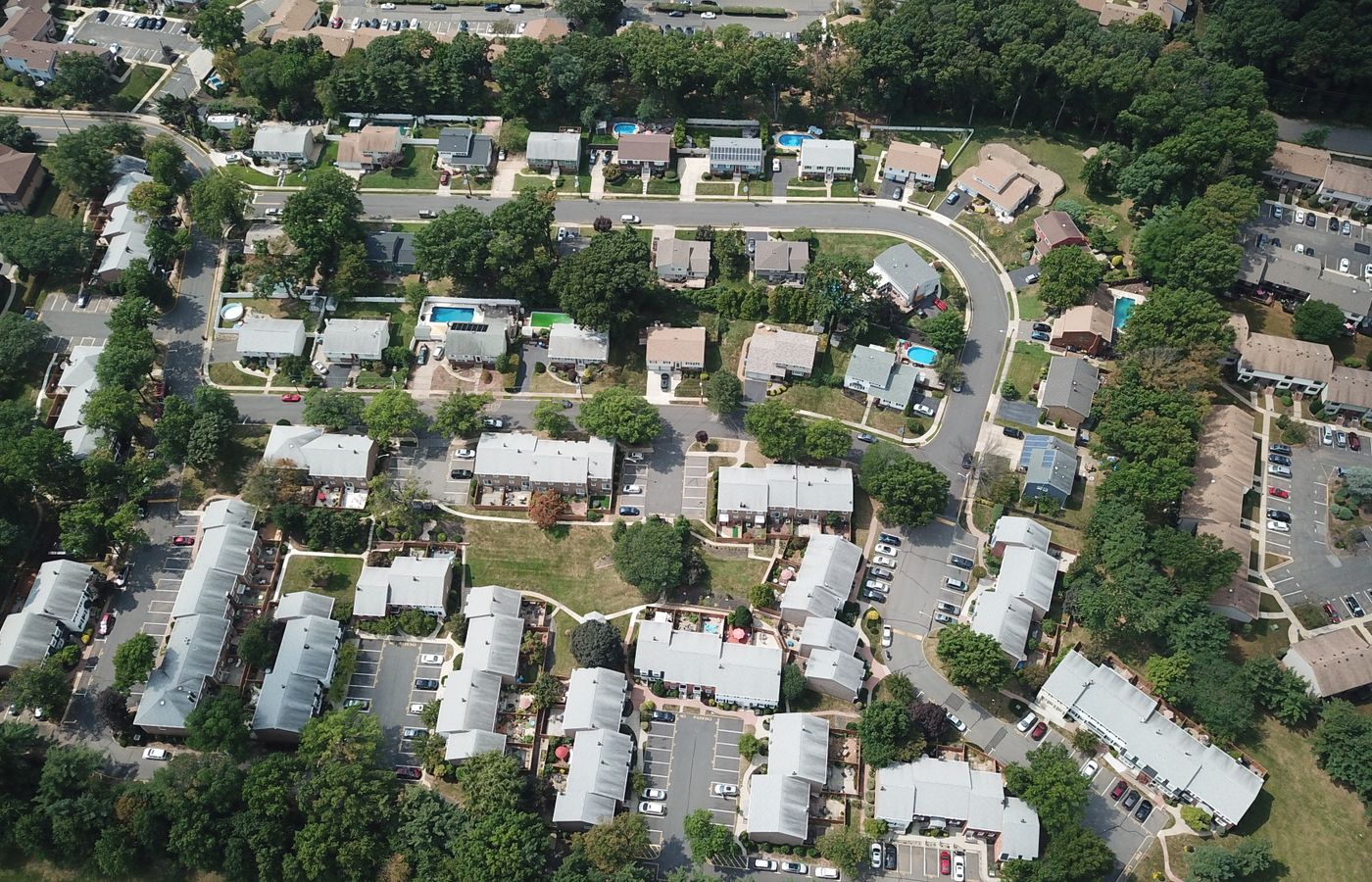
Huber Heights was built as one of the country's largest communities of brick homes, and that planned, grid-like layout is exactly what a ground photo struggles with — you can't see how a block flows, how a lot sits, or how close a home is to Thomas Cloud Park, the Heights development or the schools. From the air it all lines up in one clean frame.
Newer sections like Carriage Trails and the commercial build-out near I-70 change fast, too — aerials are the quickest way to show a property in its current setting.
We're a Dayton-based, FAA Part 107-certified and fully insured drone team, and Huber Heights is a short flight away — most jobs are on-site within a few days, with edited photos and video back to you fast.
Drone Work Built for Huber Heights Properties
Real Estate Photography
Show a Huber Heights listing the way buyers picture it — the full lot, the setting and the neighbourhood around it. Listings with aerials get noticed faster.
See real estate photos →Roof Inspections
Close-up 4K of every slope, valley and flashing detail on a Huber Heights roof — no ladders, a clear report before anyone climbs up.
See roof inspections →Commercial & Retail
Huber Heights storefronts, offices and rooftop units shot cleanly from the air for listings, leasing, signage and maintenance.
See commercial work →Built for Huber Heights' brick-home blocks
- Planned street grids and cul-de-sacs make far more sense from above than from the curb.
- Uniform brick facades photograph cleanly — aerials add the lot and setting a straight-on shot misses.
- Fast-growing areas like Carriage Trails are captured as they actually look today.
- Roofs get a full close-up 4K inspection with no ladder on the property.
- FAA Part 107 certified and fully insured, flown legally near parks and schools.
We also cover the towns nearby — Riverside, Vandalia, Fairborn and the rest of the Miami Valley.
Flying a Huber Heights job soon?
Tell us the address and what you need — you'll get a fast, free quote and a shoot date.