Drone Services in Maineville, Ohio
Aerial photography, 4K video and roof inspections for Maineville — a growing community of newer neighborhoods and larger lots in the Hamilton Township area of southern Warren County.
Maineville keeps growing — capture it as it is.
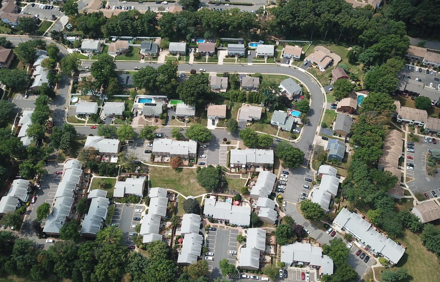
Maineville blends newer subdivisions with open, larger lots across the fast-growing Hamilton Township area. Its spacious layout and steady new construction show best from above, where a lot's true size, the surrounding land and how a home sits all come together at once.
Homes, land and commercial sites alike read clearly from an aerial view.
We're a Dayton-based, FAA Part 107-certified and fully insured drone team, and Maineville is a short flight away — most jobs are on-site within a few days, with edited photos and video back to you fast.
Drone Work Built for Maineville Properties
Real Estate Photography
Show a Maineville listing the way buyers picture it — the full lot, the setting and the neighbourhood around it. Listings with aerials get noticed faster.
See real estate photos →Roof Inspections
Close-up 4K of every slope, valley and flashing detail on a Maineville roof — no ladders, a clear report before anyone climbs up.
See roof inspections →Commercial & Retail
Maineville storefronts, offices and rooftop units shot cleanly from the air for listings, leasing, signage and maintenance.
See commercial work →Built for Maineville's open, growing lots
- Larger lots and new subdivisions show their true size from above.
- New construction is documented exactly as it stands today.
- Land and acreage parcels get clean full-parcel overviews.
- Roofs get a close-up 4K inspection with no ladder on the property.
- FAA Part 107 certified and fully insured.
We also cover the towns nearby — South Lebanon, Morrow, Mason and the rest of the Miami Valley.
Flying a Maineville job soon?
Tell us the address and what you need — you'll get a fast, free quote and a shoot date.